THE BAHÁ'ÍS OF DERRY
WHERE WE ARE
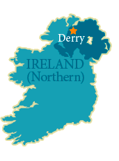
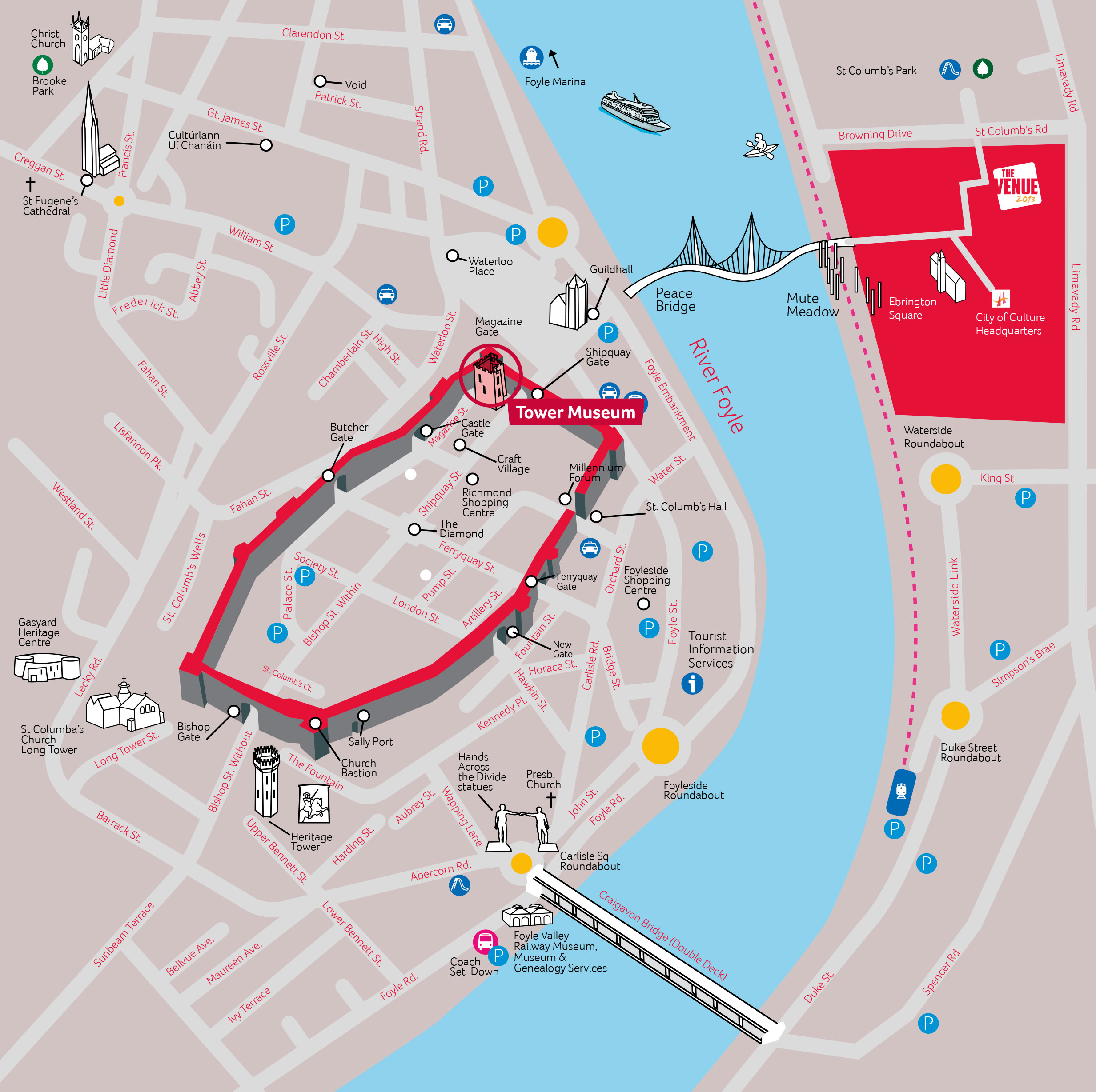
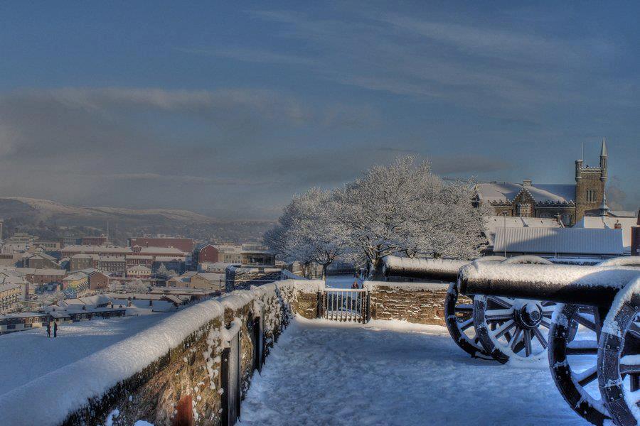
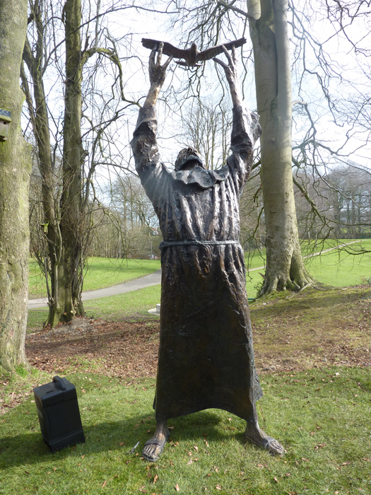
The city known variously as Derry and Londonderry is one of the largest in Ireland and is the hub of its district. Placed at a strategic crossing point of the River Foyle it has been an important site for thousands of years. The original name Doire means "a grove of oak trees" in the Irish language. Such places were sacred to the pre-Christian Celts who inhabited Ireland. Later it became an important Christian settlement. In 563 C.E. Columb (Columba), Abbot of Derry, left to carry the message of Christianity to the people of Scotland and played a key role in evangelising that country. His tomb and monastic foundation on Iona are among Scotland's most revered religious sites. In the Seventeenth Century the city was developed with money invested by the city guilds of London, and Derry officially became Londonderry, although to this day the older name is the one more generally used. The defence walls round the city protected it during the siege of 1689-1690, a key episode in the war between King James Stuart and the man who finally replaced him on the throne of Britain and Ireland, his son-in-law William of Orange-Nassau. Just as the "Derry's Walls" are preserved largely intact to this day - one of the few remaining examples of an entire city wall, and of great historical value - so too, sadly, are the tensions and religious divisions which they came to represent, though great progress towards community reconciliation has been made in recent years. The Bahá'ís are among the groups trying to heal the divisions
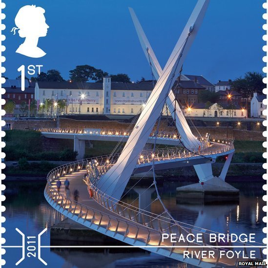
However there is more to the area than the city with its 100,000 population. Derry is backed by a rural area of gentle green hills and the flat land on the shore of Lough Foyle where the river of that name (that passes through the city) enters the sea. There are a number of villages, while across the Irish border the hills of Inishowen are clearly seen, providing a backdrop to the city's already-impressive natural setting. In recent years Derry has become an important tourist destination, a centre for festivals and a base for visitors who want to explore the beauty and attractions of the surrounding areas or just to experience the history and diversity of this vibrant city. An increasing number are interested in its spiritual heritage: its connections with ancent Celtic spirituality and its lasting influence as the religious settlement of St Columb (Columba), the future evangelist to Scotland. There is a local "Columba Trail" with walks taking in the various sites associated with the saint, and Derry is also one end of a much longer Trail that follows him into Scotland and places associated with him there.
|